
— written by WildCAT, Emma E.
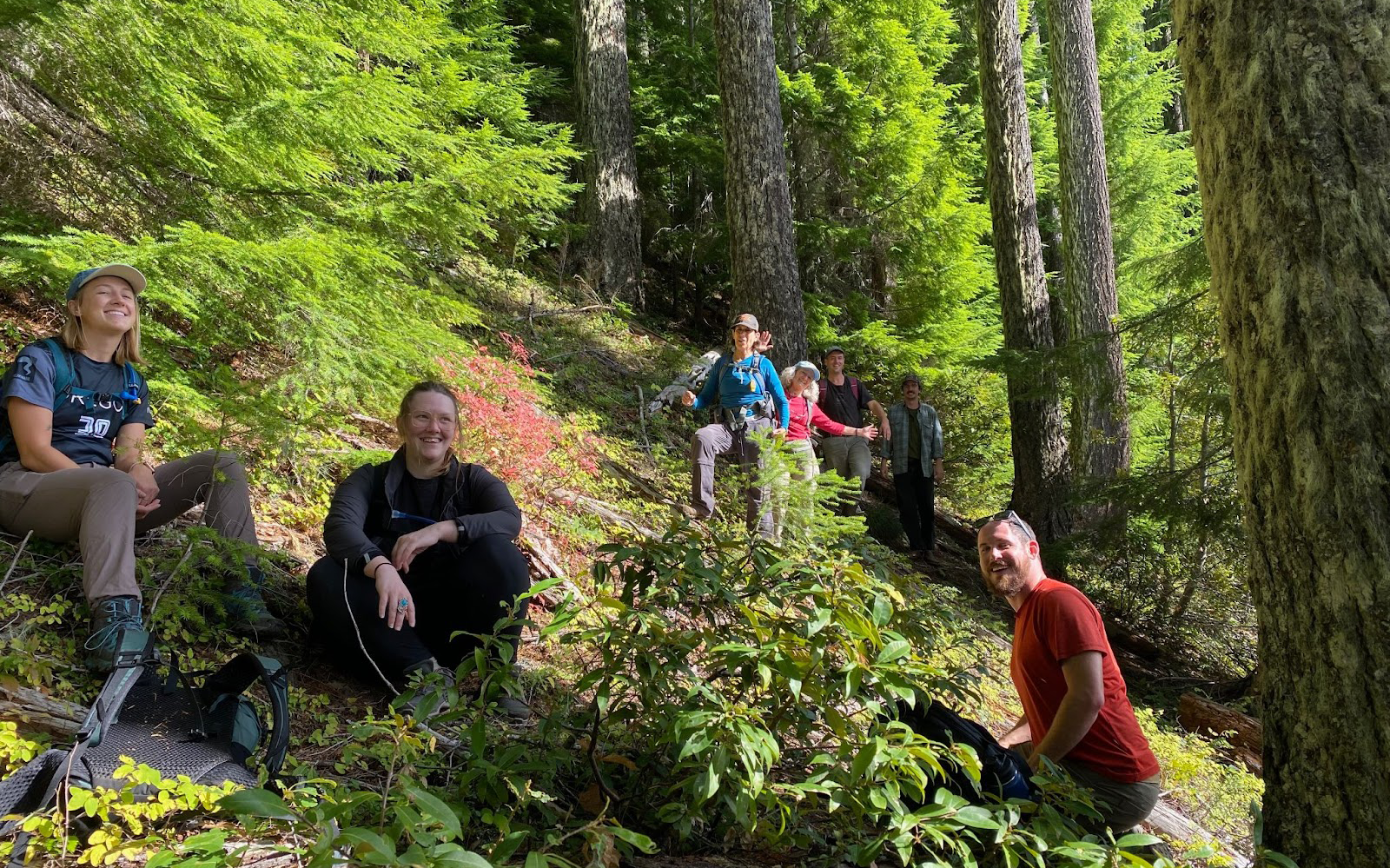
Saturday, October 21st was marked in bold on my calendar, as it was my first time meeting up with other WildCAT volunteers to conduct a field check in the Calloway timber sale. I walked through the fog early in the morning to meet-up with two other volunteers, Becky and Emma, who were to be my road trip companions for the day. We drove east towards the Cascades along highway 126 up through the Santiam Junction where we met up with the rest of the group. We had an opportunity to introduce ourselves and get to know the team, go over the plan for the day, and then we were off to the first unit in a small caravan up the rocky logging roads. The Calloway project area is located in the McKenzie River and Sweet Home Districts of the Willamette National Forest north of Blue River, Oregon. Cascadia Wildlands and volunteers have been working on fields checking and holding the U.S. Forest Service accountable in this area for over 25 years. At elevation we were clear from the fog that had settled for the day over Eugene and Springfield, fortunate with clear skies and crisp air to work in.
This field check followed a WildCAT monthly meeting which doubled as a crash-course in using offline mapping software to document data. Led by Lily Kuentz, the Field and Event Coordinator for the summer of 2023, we learned the finer points of how the Forest Service makes data available — or unavailable, and how to use that data to support on-the-ground field checking. For this project, the Forest Service only provided a large scale, pdf map. Having no adequate maps useful for navigating or identifying other features on the ground from the agency, a fellow WildCAT put together some maps for field checkers to use. These maps show where the units are, and also LiDAR (light detection and ranging) data which offers an estimate of the tree’s height. A road we planned to drive down to look at additional units under review had been removed — even the road bed had eroded and fallen away — so we spent the rest of the afternoon hiking. We had to quickly adjust the plan and find a new path, eventually reaching a mountainside that gave us a much deeper breath of information on the area. Together we took core samples, collected data on tree species and sizes, and identified a wide variety of shrubs, fungus, and signs of animal activity.
While hiking the south side of this unit, we noticed that the road had suffered from a landside. Intense road construction would need to take place to access the timber in this unit, which would be an expensive and invasive undertaking. This unit’s complexity, road conditions, and slopes showed us one thing: that the forest is unlikely to benefit from thinning or logging activity here. The unit has scattered open areas, a diversity of flora and fauna, as well as areas of mature-growth forest. We intend to take all of the information we gathered and share it with the Forest Service so that they might reconsider the units we visited as viable for the timber sale.
Our work field checking was an incredible experience.I learned not just how to look at forests in a new way, but had access to so much wisdom and experience from the other WildCAT volunteers. As winter weather starts to settle in, field checks slow down, but I’m excited to be learning more about the ins and outs of the process, and the other amazing campaigns Cascadia Wildlands is working on.